Highlighting the Dukono Eruption, ITB Expert Warns of Climbing Risks Amid Increasing Volcanic Activity
By Merryta Kusumawati - Mahasiswa Teknik Geodesi dan Geomatika, 2025
Editor Anggun Nindita
.jpg)
Illustration of a volcanic eruption (Photo: Pixabay)
BANDUNG, itb.ac.id – The activity of Mount Dukono has once again drawn public attention following a climbing incident that resulted in fatalities. The volcano, located in North Halmahera, North Maluku, is known as one of the most active volcanoes in Indonesia. Responding to this issue, Dr. Eng. Ir. Mirzam Abdurrachman, S.T., M.T., a lecturer from the Research Group of Petrology, Volcanology, and Geochemistry, Faculty of Earth Sciences and Technology, Institut Teknologi Bandung (ITB), explained the characteristics of Mount Dukono, the hazards posed by eruptions, and the importance of mitigation based on official information.
.jpg)
Documentation of Dr. Eng. Ir. Mirzam Abdurrachman, S.T., M.T., observing the Sakurajima eruption with volcanologists from various countries (2013)
Dukono, an Active Volcano with Both Attraction and High Risk
According to Dr. Mirzam, Mount Dukono is one of the most active volcanoes in Indonesia. Its intense activity makes Dukono an attractive destination, especially for climbers who wish to enjoy natural scenery while witnessing volcanic eruptions firsthand. However, such attraction should never outweigh safety considerations.
“Volcanoes become even more fascinating when they are active. Climbers want to enjoy the scenery, but they also seek extraordinary attractions,” he said.
He emphasized that volcanic activity, whether small or large in scale, always carries risks that cannot be ignored. The desire to capture photos, videos, or gain popularity on social media is not worth the potential dangers in the field.
“Safety cannot be replaced by personal enjoyment, popularity, or the likes we gain from photos and videos while taking selfies during an eruption,” he explained.
Increased Alert Status, Climbing Activities Should Not Be Conducted
Dr. Mirzam explained that volcano alert levels are determined based on monitoring volcanic activity. The levels range from Normal, Advisory, Watch, to Warning, or Level 1 to Level 4. An increase in alert level is generally based on indicators such as seismic activity, minor eruptions, and changes in volcanic behavior.
In the case of Mount Dukono, he noted that in August 2024 the volcano was at Level 2, with a recommended safe radius of 3 kilometers. In December 2024, the recommended safe radius was increased to 4 kilometers. Then, on April 17, 2026, Dukono’s status rose to Level 3, meaning climbing activities should no longer be carried out.
“If previously the safe distance was up to 4 kilometers, now climbing activities should no longer be conducted for any reason,” he said.
Eruption Hazards Are Not Limited to Volcanic Ash
Dr. Mirzam reminded the public that volcanic hazards are not limited to volcanic ash. Although observing wind direction may help reduce exposure to ashfall, it only minimizes one type of hazard. Volcanic eruptions can also produce volcanic bombs, pyroclastic flows, toxic gases, lava flows, lahars, and landslides.
“Observing wind direction only helps minimize one type of disaster, namely volcanic ash carried by the wind,” he explained.
According to him, volcanic bombs are particularly dangerous because they are ejected ballistically and do not follow wind direction. In addition, pyroclastic flows move at very high speeds, making them extremely difficult to escape once they occur.
“If what comes out is a pyroclastic flow moving at 150 kilometers per hour, whether we climb up, go down, or move anywhere else, once it passes through, we no longer have time to run,” he said.
Early Warning Systems Must Reach and Be Understood by Communities
.jpg)
Documentation of Dr. Eng. Ir. Mirzam Abdurrachman, S.T., M.T., with students from the University of Tasmania at the summit of Mount Ijen (2017)
According to Dr. Mirzam, early warning systems do not solely depend on technology. Official information from the Center for Volcanology and Geological Hazard Mitigation (PVMBG) and the government must reach communities, be properly understood, and be communicated through trusted local figures. Challenges in the field arise because not all communities have internet access, understand warning systems, or are fluent in Indonesian.
“Not everyone is connected to the internet. Not everyone understands warning systems. Some people in the area also do not speak Indonesian well,” he explained.
Therefore, community leaders, village heads, local guides, and other trusted figures should be involved as intermediaries. They can help deliver scientific information in language that is easier for local communities to understand.
“Community leaders who are respected and trusted are key figures who must also be educated,” he said.
Joint Mitigation Efforts: Follow Official Information and Comply with Safe Distances
.jpg)
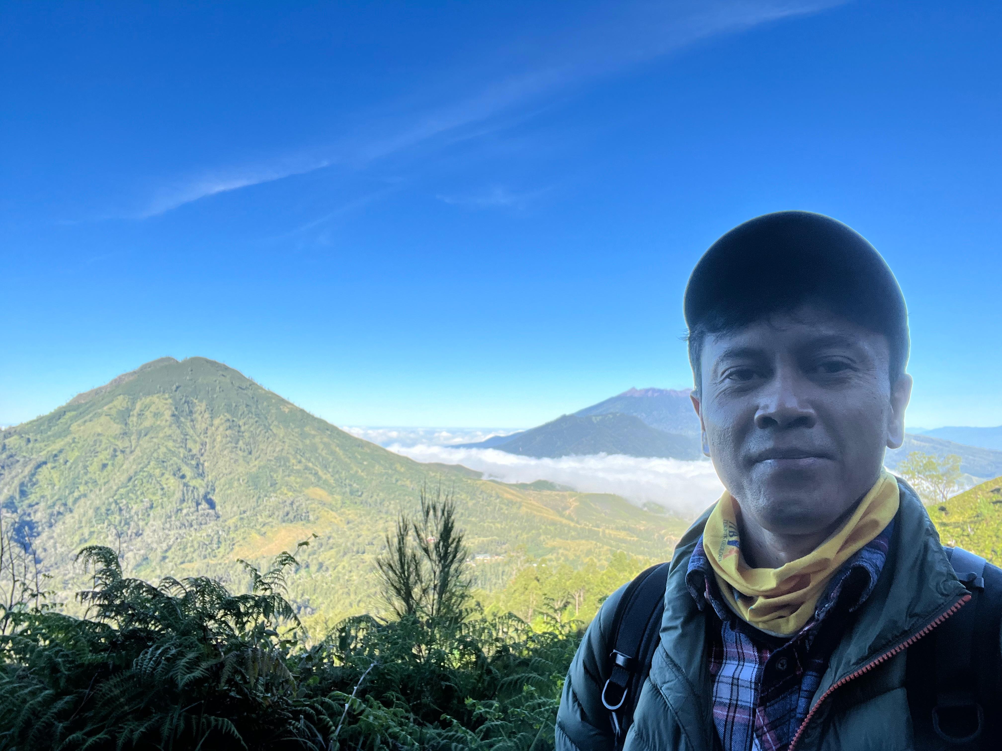
Documentation of Dr. Eng. Ir. Mirzam Abdurrachman, S.T., M.T., during a discussion at the crater rim of Kawah Ratu, Tangkuban Parahu (2022)
Dr. Mirzam emphasized that volcanic disaster mitigation is a shared responsibility. The government, PVMBG, BNPB, academics, tourism operators, guides, local communities, and climbers all have their respective roles. Information regarding volcanic status and activity recommendations must always refer to official sources, rather than relying solely on personal experience or tourism operators.
“Every visitor must seek sufficient information, whether this is the right time, whether it is too risky or not. These factors must be carefully considered,” he explained.
He added that active volcanoes can still be enjoyed safely from designated distances. Nature tourism activities do not necessarily need to stop entirely, but they must comply with safety regulations.
“Can we still enjoy volcanoes during eruptions? Yes, without getting harmed, as long as we comply with certain safe distances,” he said.
He once again stressed that safety must remain the top priority. Natural beauty, climbing experiences, and social media popularity are not worth the risk of losing lives.
“The likes and popularity we gain are not worth the price that must be paid,” he concluded.
Reporter: Merryta Kusumawati (Teknik Geodesi dan Geomatika, 2025)
.jpg)
.jpeg)
.jpg)
.jpg)
.jpg)