Observing Earth Dynamics in High Accuracy with Very Long Baseline Interferometry
By Hastri Royyani
Editor Hastri Royyani
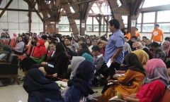
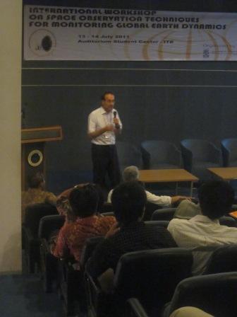
 BANDUNG, itb.ac.id - Very Long Baseline Interferometry (VLBI) has been one of the forefront runner in the advancement of outer-space earth observation due to its high accuracy in measuring earth's various complex movements. President of International VLBI Service for Geodesy and Astrometry Prof. Harold Schuch shared his knowledge on the method in ITB's IPTEKS Auditorium in the International Workshop on Spave Observation Techniques for Monitoring Global Earth Dynamics.
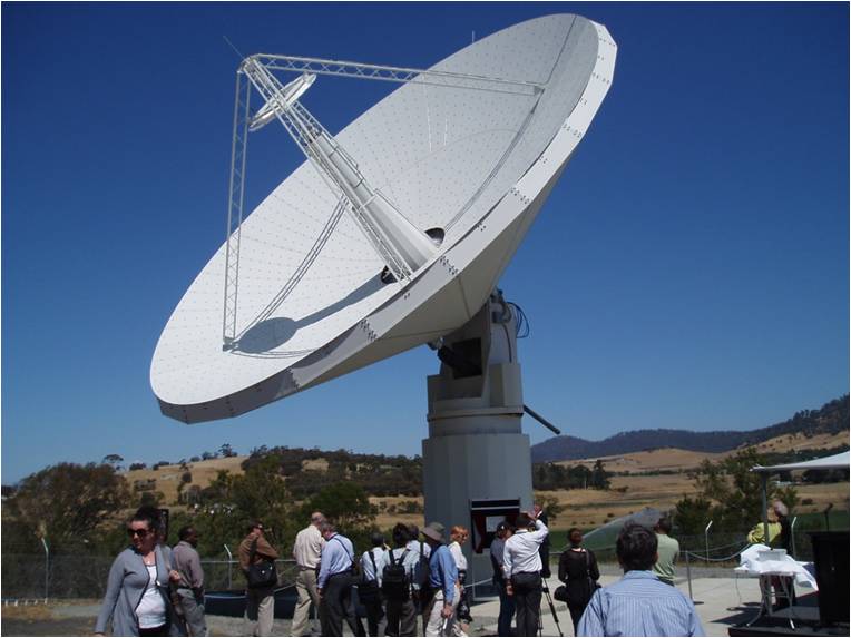
Harold stated, "The VLBI has various applications and uses that may involve other fields of science." In its process, the VLBI utilizes two or more radio telescopes to observe and record signals received from a quasar. The distance between the radio telescopes used in VLBI represents the antennae diameter to combine two or three of those telescopes.
Quasars, short of quasi-stellar radio sources, are space objects that radiate extremely-bright lights with radio signals. Quasars radiate lights a trillion times brighter than the sun, but it can't be seen by even the most sophisticated telescopes.
A Collaboration of Sciences
The International Workshop on Space Observation Technques for Monitoring Global Earth Dynamics involved various concentration of studies in ITB; Geodesy, Geology, Astronomy, Oceanography, Meteorology, and Electrical Engineering. The research topics mentioned in the workshop involved earthquakes, soil surface reduction, and the utilization of sea resources as an alternative energy source.
"This workshop expands our horizon on the most up-to-date advancement in science and engineering. Something Indonesia requires to develop," as said by Samuel, Geodesy 2008.
.jpeg)
.jpg)
.jpg)
.jpg)
.jpg)