Importance of Spatial Planning in Suburban Areas
By Adi Permana
Editor Adi Permana

BANDUNG, itb.ac.id—Prof. Dr. Delik Hudalah, S.T., M.T., M.Sc., presented his scientific oration at the ITB Professors Forum on Saturday (20/8/2022) with the title "Suburban Urbanization in the Global Era".
Prof. Delik completed his elementary, middle school, and high school education in Bandung. He then enrolled in ITB as an undergraduate student in the Urban and Regional Planning study program before graduating in 2004. He continued his master’s studies in ITB as well and earned his degree in 2006. Pursuing further education, he studied abroad at the University of Groningen in the Netherlands for his doctorate in 2010.
During his career, Prof. Delik worked as an associate professor on September 1, 2015. He was inaugurated on the 1st of August 2020 as a professor. Currently, he is the youngest professor at ITB.
As an expert in the field of metropolitan planning and a member of the ITB SAPPD Regional and Rural Planning Research Group, Prof. Delik stated more than half of the global population lives in urban areas, most of which reside in its boundaries that are observed to be developing beyond the city’s administrative and institutional control. The dynamization and urbanization of these areas influence cities to continuously evolve and meet their residents’ demands.

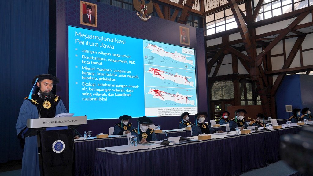
According to their scale, urban areas can be classified into four types: cities, metropolitan, megapolitan, and megaregion. Each of their suburbs is considered a critical part of the overall spatial planning because it is difficult to predict its growth. "Structurally, the suburbs can form a new city center. On the other hand, they can exist as transitional zones between villages and cities if we view it as a trend,” he mentioned.
When viewed by its structure, the formation of a new city center can occur due to the deconcentrating process that is characterized by a decrease or stagnation of the number of residents and jobs in the city center. This leads to an imbalance between the city center and the suburban areas. Thus, the deconcentration of the area’s population and occupation determines whether an urban area will have only one center (monocentric) or multiple centers (polycentric).
"In the case of Jabodetabek and Surabaya Metropolitan, studies show that the spread of the processing industry is one of the important features in job decomposition. This is indicated by the distribution of industrial areas and cities towards the periphery. Without integrated planning on a regional scale, this deconcentration can happen randomly, also known as sprawl,” Prof. Delik explained. “This phenomenon wastes land, energy, and fees."
As spatial patterns, the suburban area is a functional area that undergoes an urban transformation. This area tends to be too developed and covers larger areas regardless of the existing administrative boundaries. Due to this, the suburbs are often called gray areas which also include the peri-urban and urban-village regions.
“The periphery region becomes a gray area. It is difficult to determine its physical and nonphysical boundaries. Usually, it forms a gradation or spectrum with varying stability between urban and rural traits."

Integrated models and implementation of the planning and management of suburban areas are the keys to a successful arrangement of gray areas. The concept is divided into four domains, namely suburban area planning, suburban area management, urban area planning, and urban area management. Studies and interventions are focused on increasing institutional capacity, inter-regional cooperation, integrated and multisectoral regional planning, and state rescaling.
Reporter: Hanifa Juliana (Urban and Regional Planning, 2020)
Translator: Ruth Nathania (Environmental Engineering, 2019)
.jpg)
.jpg)
.jpg)